Saving the Koala in bushfire affected areas
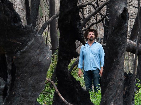
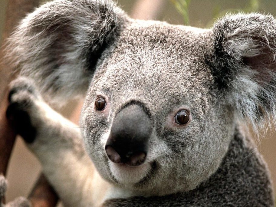
Recent bushfires have devastated koala populations across Australia, making the need to preserve this species all the more pressing. We now need to find the koalas and other wildlife that have survived.
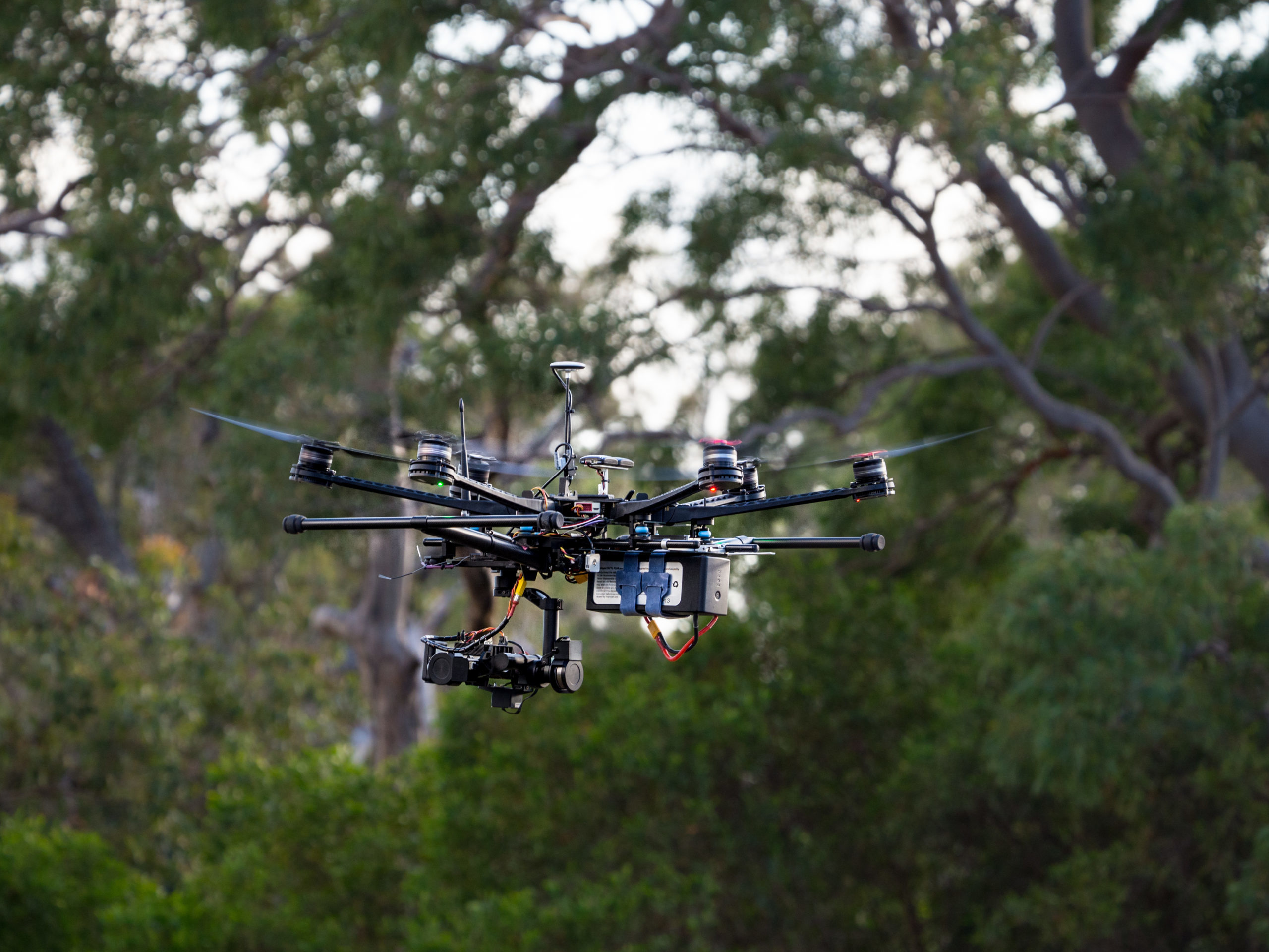
QUT will be conducting post bushfire monitoring with drones and AI detection of koalas over large tracts of bushfire affected areas. To contribute to this work, please donate below. All funds donated will go towards improved monitoring to assist with wildlife recovery.
LEVERAGE CUTTING EDGE TOOLS
Our dashboard and survey management toolkit create the space to help turn your data in knowledge to help you manage land better. Our researchers create and implement leading edge algorithms for fast and reliable analysis of your data.
MAKE CONFIDENT DECISIONS
Artifical intelligence (AI) algorithms are constantly improving. We implement quality control protocols to check results, correct errors, and validate success of the AI engine every time.
TRANSFER YOUR DATA, FAST
Built to deal with tough connection conditions when you’re in the field, the Conservation AI Network offers industry leading data transfer technology to ensure your data reaches us fast and intact, every time.
What is Conservation AI Network?
Biodiversity is in crisis globally. There is an urgent need for rapid, efficient and accurate tools to provide land managers with the knowledge they need to better manage their land. In an increasingly complex world, it is harder and harder for land managers and other agencies to encompass both essential on-ground management activities and the up-to-date analytical capability that can guide those activities. The Conservation AI Network can bridge that gap. It comprises a data collection portal for rapid ingestion of remote data from drones and camera traps, together with a collection of leading-edge analytical tools to transform that data into effective products. We provide quality assurance and ecological analysis services to ensure accurate and usable information to inform monitoring and management.
Featured Articles

QUT scales up search for koalas with AI hub
Researchers from the Queensland University of Technology (QUT) have established an AI hub to expand the use of drones and infrared imaging as part of efforts to ramp up conversation[…]

Drone system monitors koala populations
A new university programme using drones and artificial intelligence to protect south-east Queensland’s endangered native animals could be soon available to conservation groups[…]

QUT researchers ramp up koala conservation efforts with AI hub
Researchers from the Queensland University of Technology (QUT) have established an AI hub to expand the use of drones and infrared imaging as part of efforts to ramp up conversation[…]
